World’sLeading Software
From field data capture and civil design to project information management, 12d helps infrastructure teams work with accurate, connected data throughout the project lifecycle.
InfrastructureWorks Better Connected.
From field capture and civil design to project information management, 12d connects teams and data throughout the infrastructure lifecycle.
Flexible software for every stage of project delivery
Purpose-built for different project needs, our products work independently and connect seamlessly when required.
12d Synergy
Manage documents, emails, workflows and complex engineering datasets from 12d and third-party applications within a secure Common Data Environment.

12d Model
Survey, design, analyse and visualise civil, water and infrastructure projects while exchanging data across industry-standard formats and platforms.

12d Field
Capture, validate and work with field data using a broad range of surveying instruments, hardware and data formats.
CDE Connect
Automate controlled data and metadata exchange between platforms such as 12d Synergy, Autodesk Forma, ProjectWise and other project systems—without replacing your existing technology.
Keep project data connected from field to finish
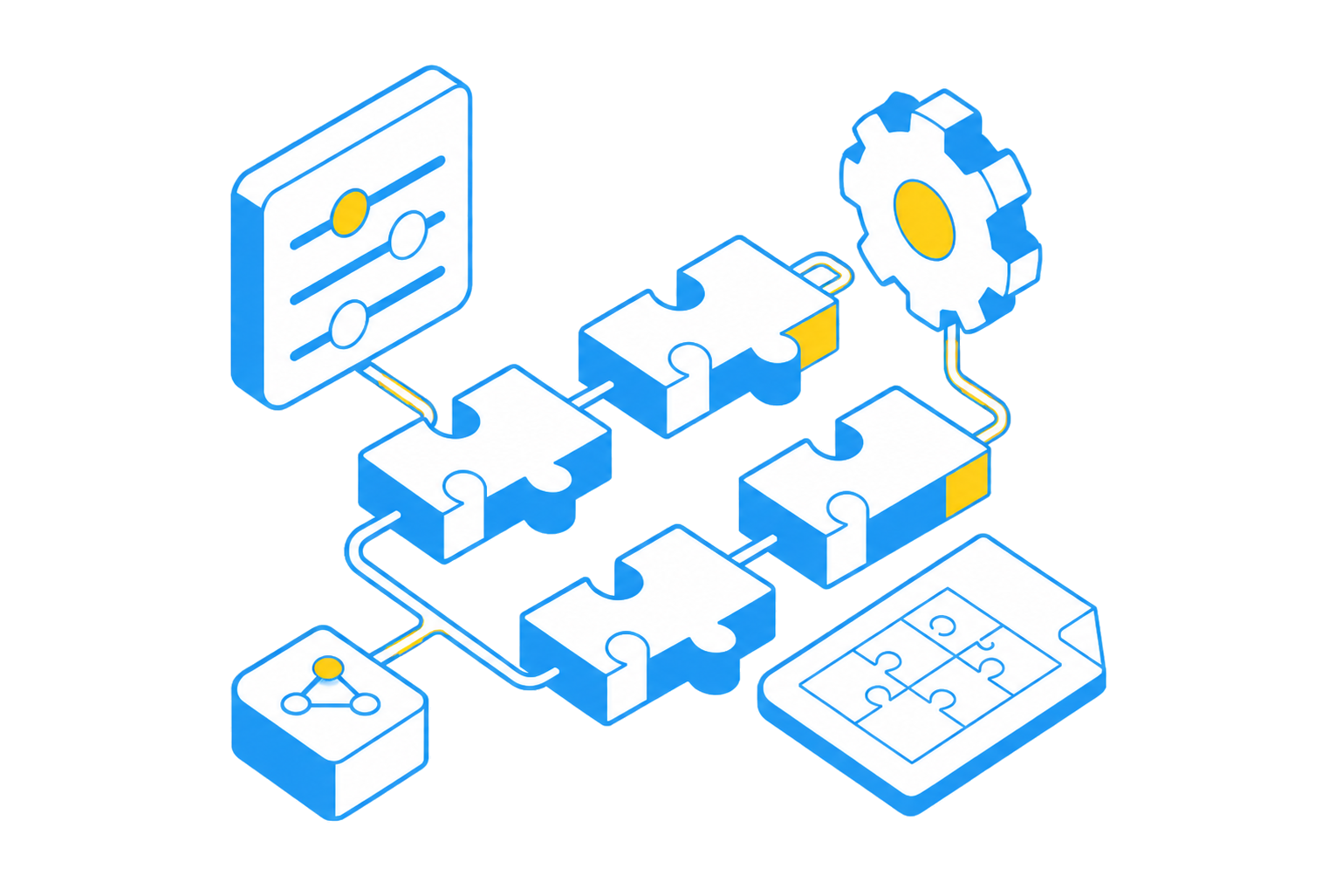
12d connects the people, tools and information involved in infrastructure delivery while remaining open to your wider technology environment. Use 12d products together or integrate them with the hardware, software and platforms already used by your project teams.
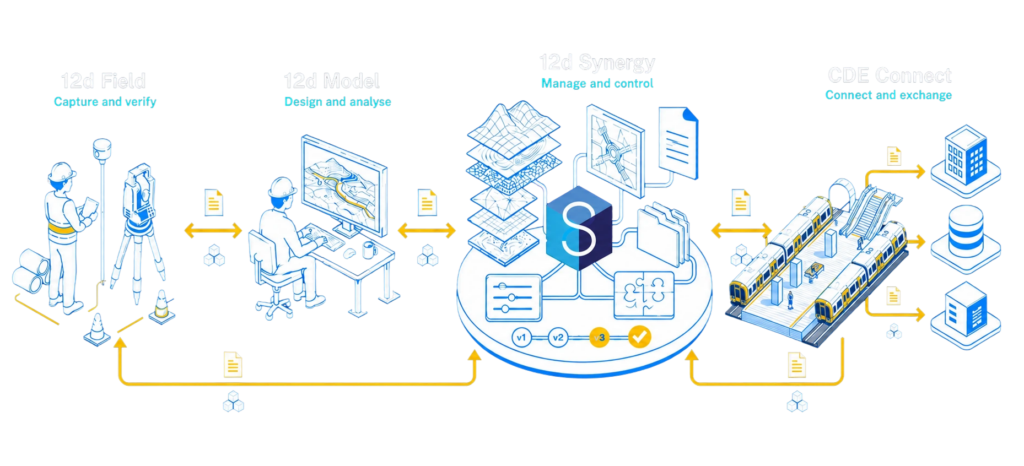
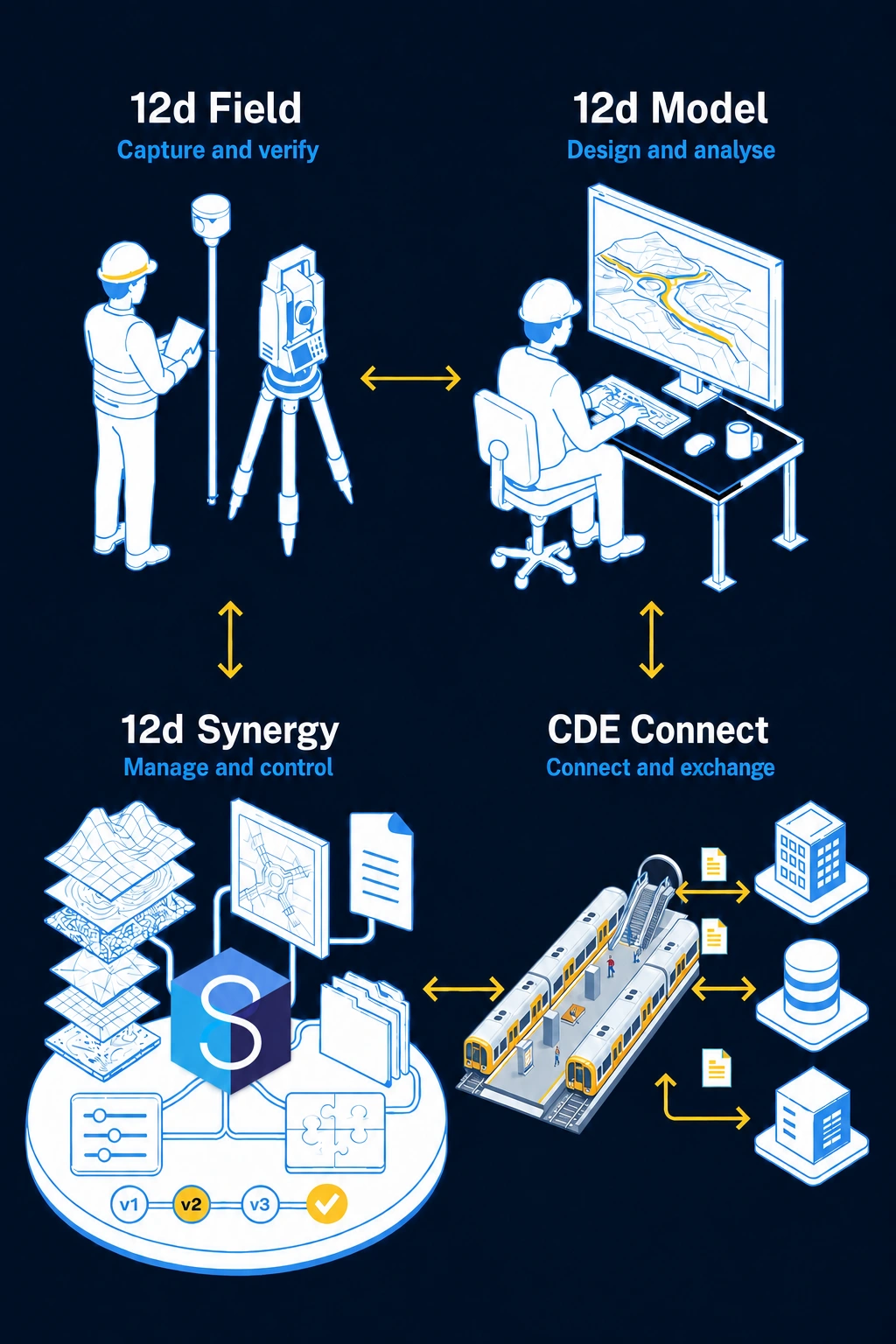
Seamless integration across your technology stack
Integrate your core systems into an open, data-agnostic environment, so project information flows consistently without vendor lock-in.



Software built for complex infrastructure data
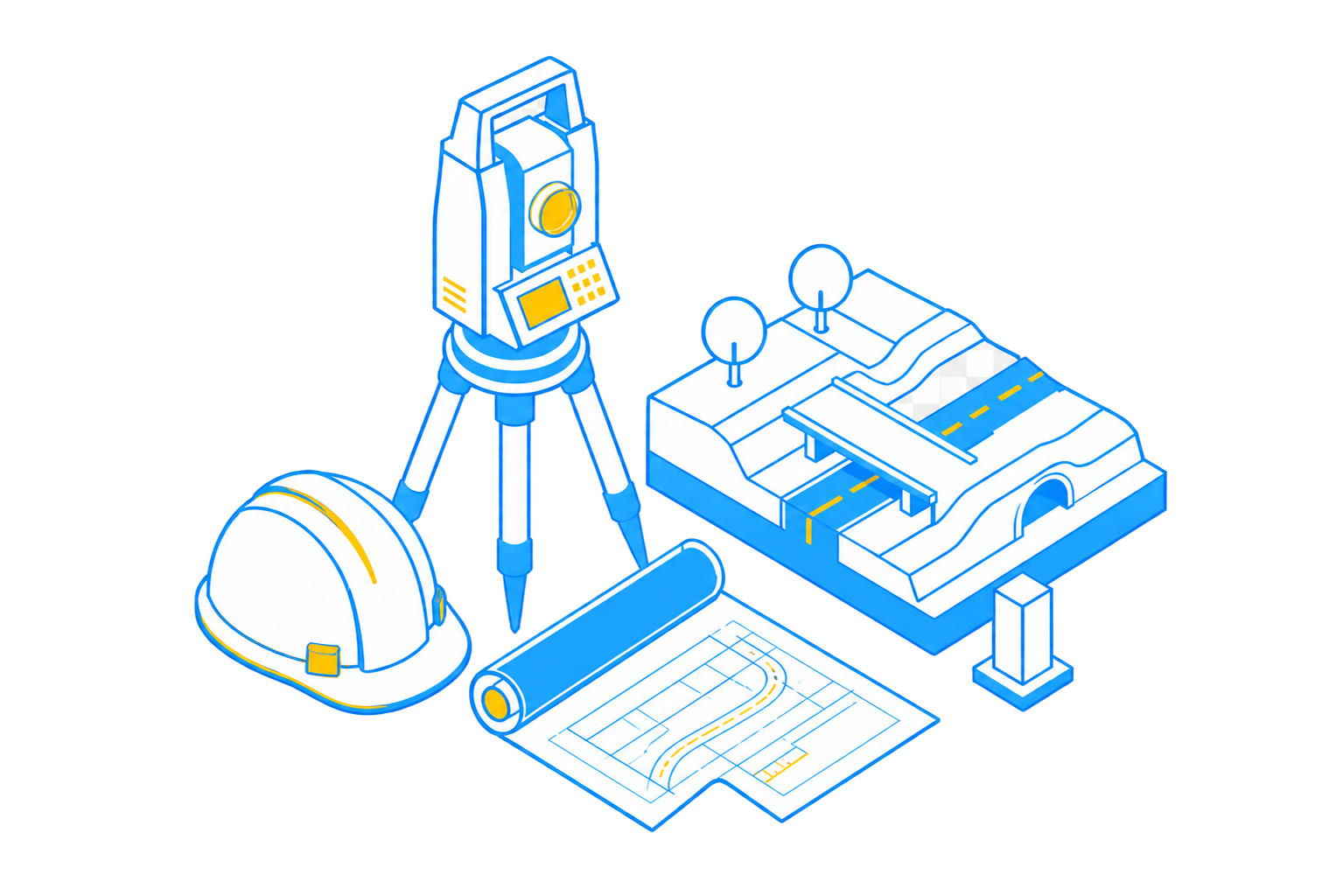
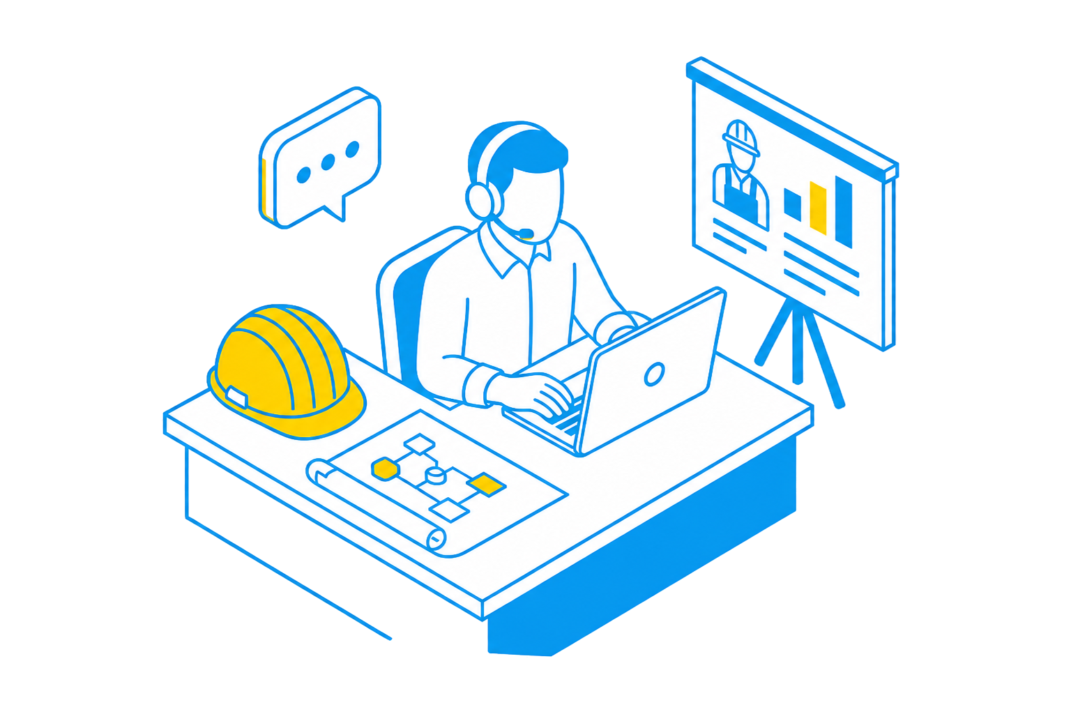
01Developed with industry expertiseCreated around the real workflows of surveyors, civil designers and infrastructure professionals.
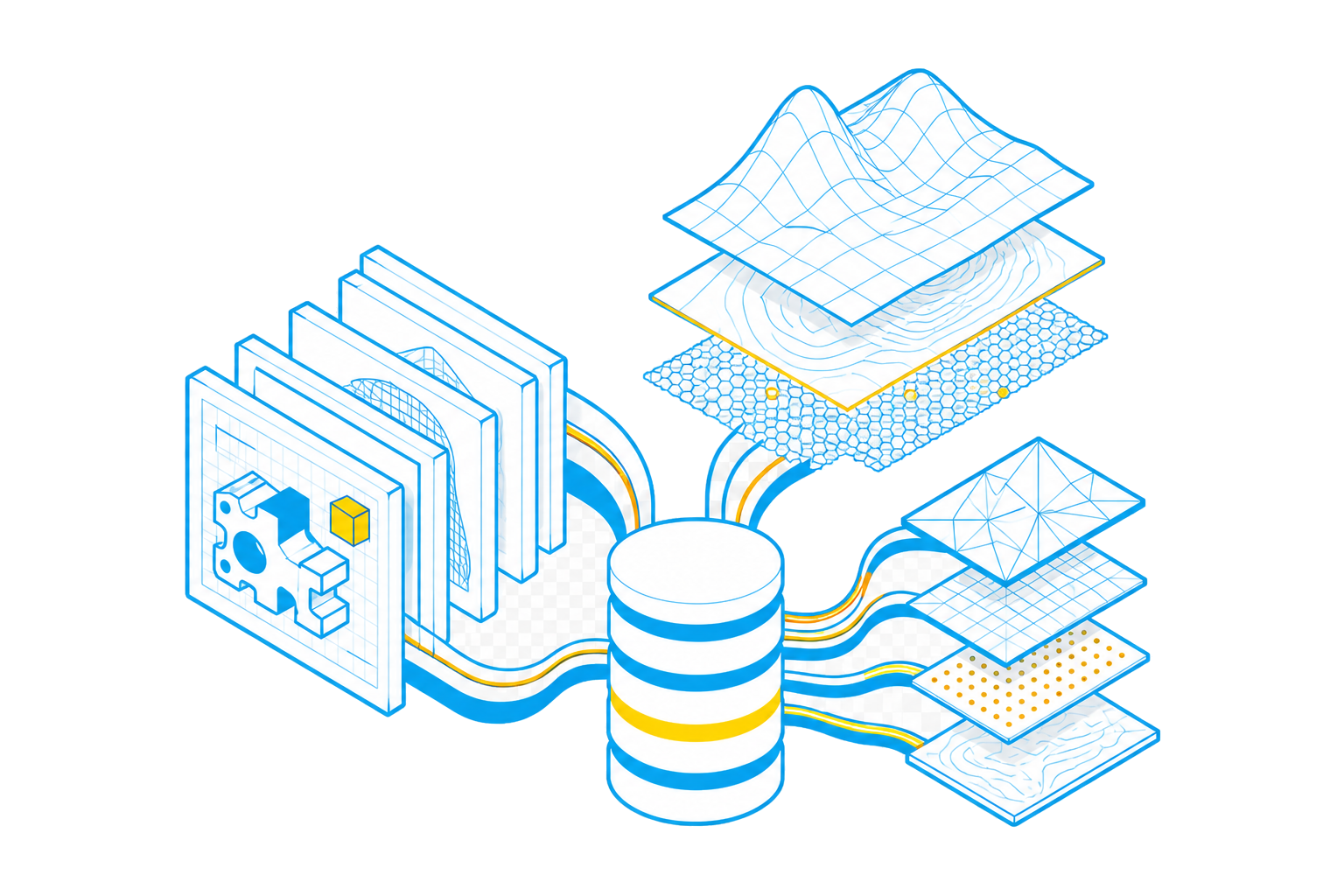
02Handles complex native dataWork with large, multi-file engineering, design and geospatial datasets—not just standard documents.
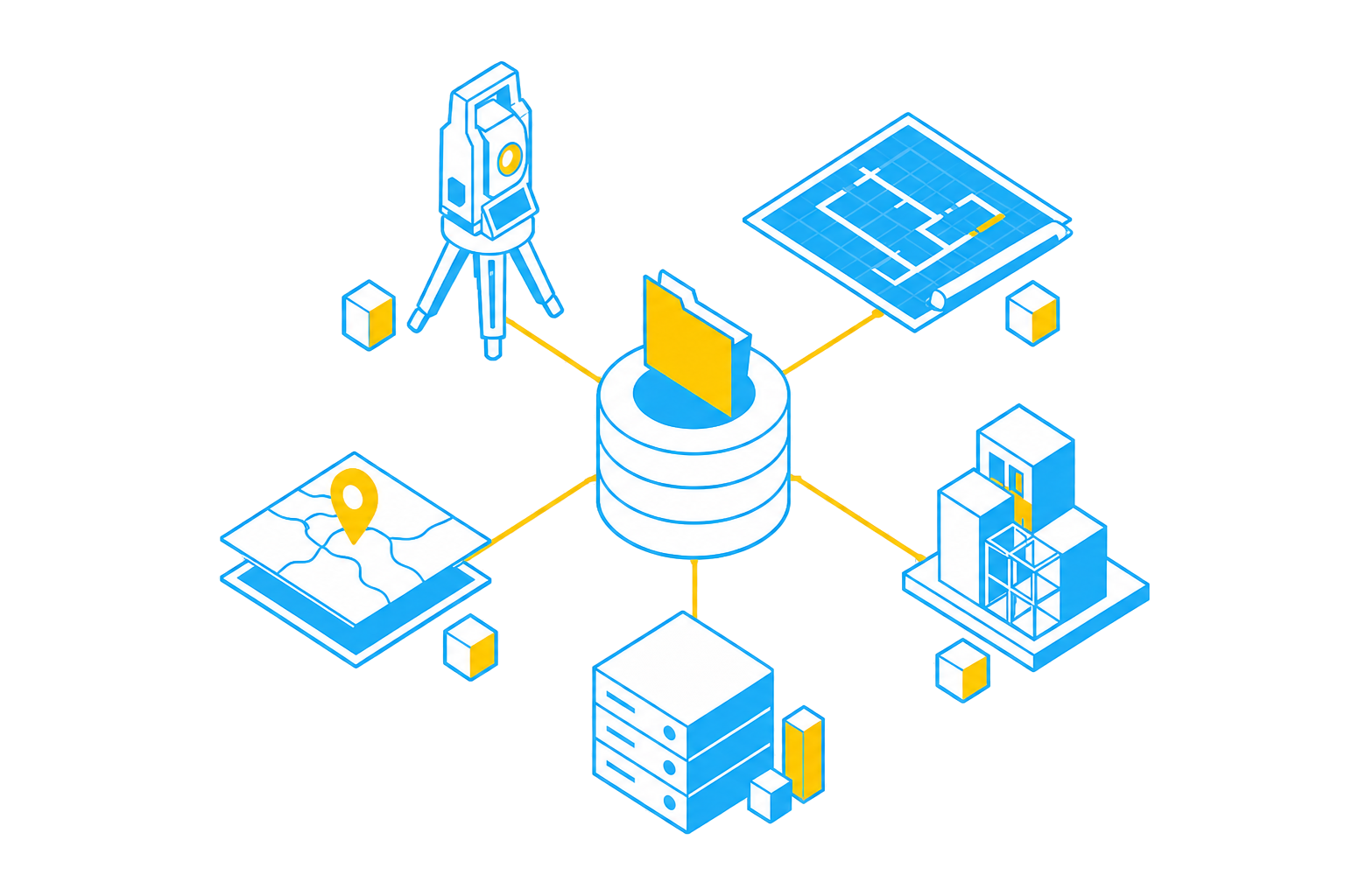
03Open and interoperableConnect with existing surveying hardware, CAD, GIS, BIM and information management platforms.
04Customisable to your workflowsConfigure tools, macros, templates and processes around the way your teams deliver projects.
05Supported by industry specialistsAccess implementation, training and responsive local support from people who understand the work.
Take control of your projects, mitigate risks, and reduce costs
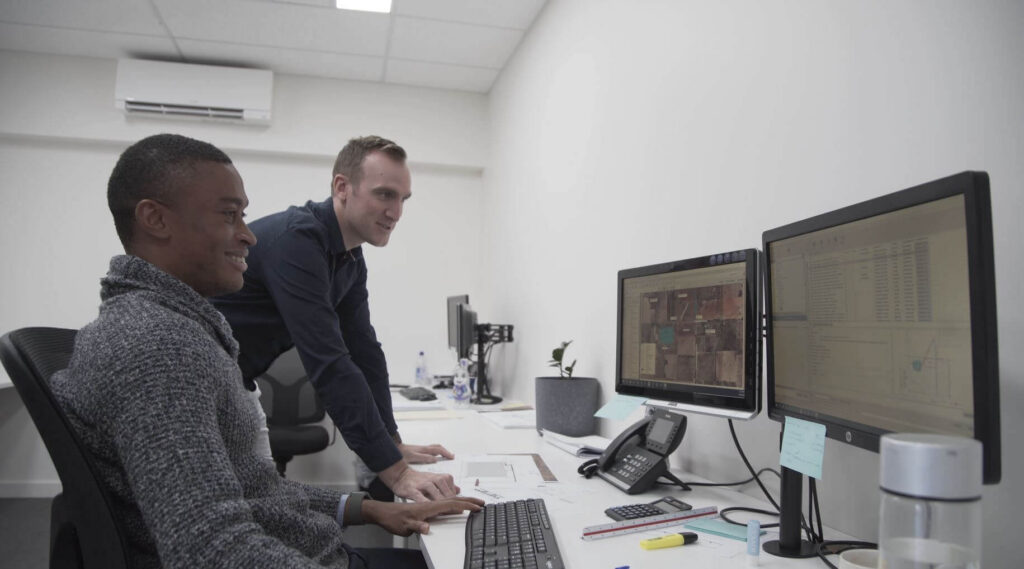
Uphold standards by centralising all project information within an ISO 19650 Common Data Environment.
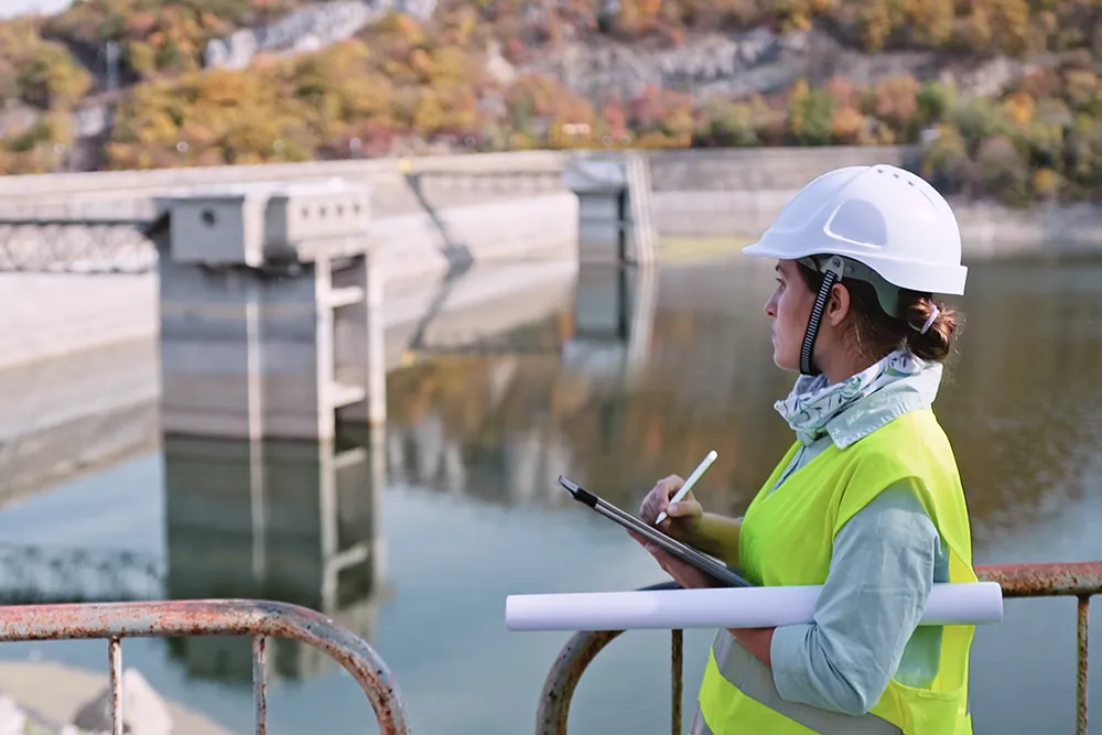
Integrate subterranean pipe design directly with 2D overland flood hydrodynamics in TUFLOW.
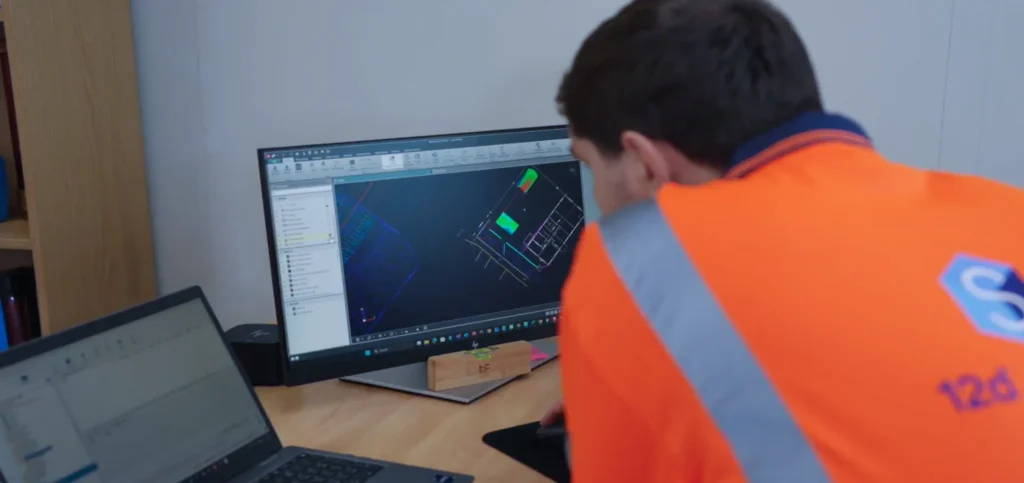
Model multi-lane road corridors, roundabouts, and rail alignments in seconds with live parametric updates.
03 — DESIGNERS
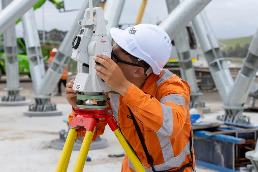
Achieve sub-millimeter traverse adjustments and effortless field-to-office sync with 12d Field.
Customer Success Stories
“12d Synergy has been great for the NorthConnex project, honestly, it’s been a God-send for the security of our data and information. In surveying circles, security of information is absolutely paramount. 12d Synergy is also scalable, reliable, and flexible. So, it’s definitely been a great initiative to have onboard.“