Geospatial Data Management Software
Manage large geospatial datasets faster, without breaking references
Folder-based geospatial data management for survey, CAD and GIS workflows. Faster transfers, safer collaboration, and full traceability.
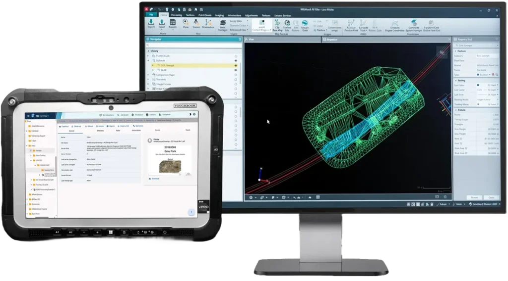

Step Up to Superior Geospatial Data Management
Fill in the form to get the eBook and learn how 12d Synergy helps improve control, performance, and consistency for 12d Model data.
Download Your Copy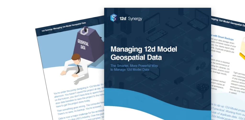
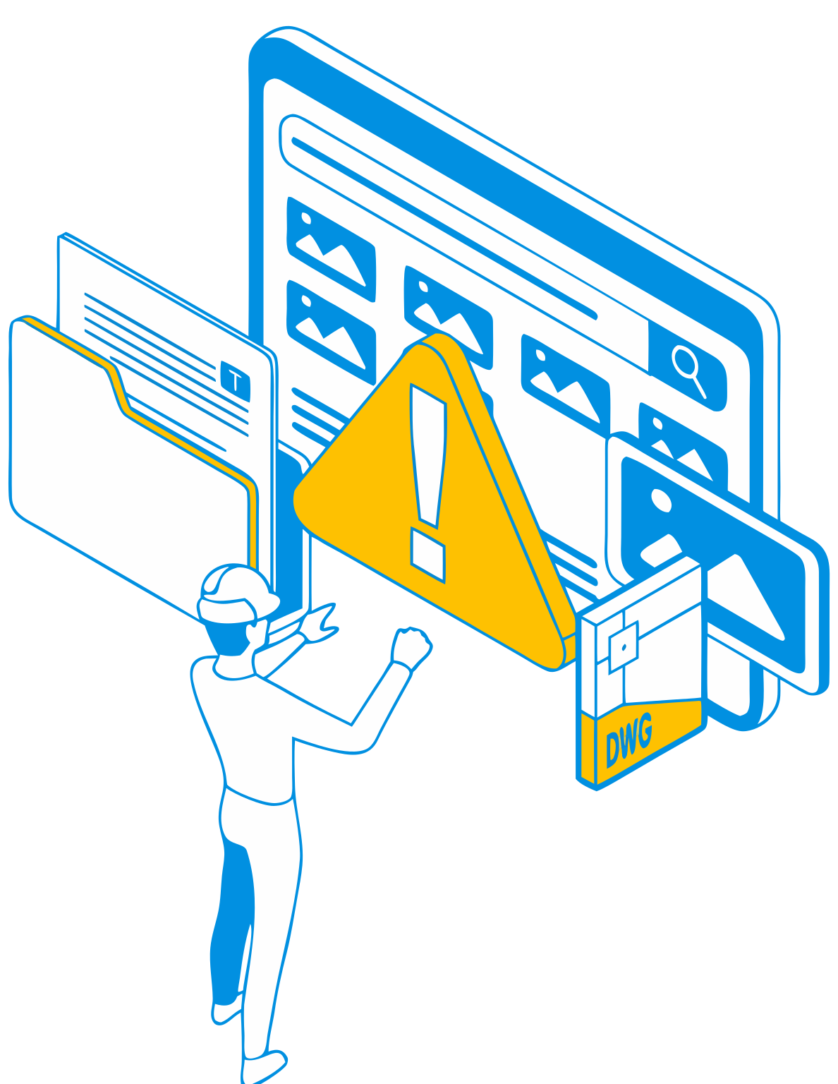
Network drives strangle geospatial software
resulting in slow load times, slow saving and slow performance.
Generic sync tools can corrupt “folder-of-files”
projects and break dependencies.
Wasting hours of billable time waiting
on 20–30-minute data transfers.
Slow, unreliable data transfers
chain you to your desk preventing you from working on your projects remotely.
Duplicate versions trigger rework
and confusion over what’s “latest”.
No clear audit trail of project changes
and no capability to roll back to previous versions.
Geospatial project data has exploded in size and more complex beyond standard document sets. Teams regularly manage large DWGs, survey deliverables, GIS datasets, and LiDAR files that need to stay together as one working set. The problem is that traditional file sharing and generic sync tools treat files individually and rely on perfect user behaviour under deadlines. That leads to slow load/save performance, lengthy transfers, broken references in folder-based projects, and “latest version” confusion across offices and field teams. When a QA issue or dispute hits, it’s also difficult to prove what changed and when without a reliable history. You need a purpose-built way to manage datasets, preserve integrity, and keep delivery moving.
Geospatial data control that keeps projects moving
12d Synergy brings order to geospatial datasets with folder-based controls, faster transfers, and complete traceability—so survey, CAD, and GIS teams can collaborate without corruption, rework, or "latest version" confusion.

Work locally for speed with centralised oversight and backups.
Transfer only what changed to cut sync times on large datasets.
Protect folder-based projects so dependencies and references stay intact.
Stay align on latest with version history, audit trails, and rollback.
Keep datasets searchable using attributes including location and coordinates.
Data storage reductions of up to 84% as 12d Synergy's inbuilt version control system eliminates the need for milestone backups.
Field-to-office workflows without broken datasets
Geospatial work shouldn't depend on USB handoffs or slow remote connections. 12d Synergy supports offline-friendly ways of working so crews can work locally, then sync changes back into the approved dataset when they reconnect. Folder-based controls help protect dataset integrity, while version history makes it clear what changed and when. The result is safer collaboration across office and field teams, even when bandwidth is limited.
Offline-friendly syncing that protects dataset integrity.
Clear approved-set visibility vs work-in-progress visibility.
Faster handovers between field and office.
Full traceability for QA and disputes.
Built-in controls that prevent rework
Standardise naming, manage versions, track transmittals, and keep a complete record without slowing delivery.
Work Sharing
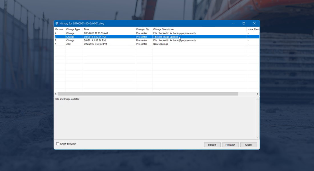
Transfer only what changed, not the full project, so large LiDAR and geospatial datasets move faster across offices and remote links.

Dataset Integrity
Protect folder-based projects with managed datasets that preserve dependencies and reduce data corruption risk.

Version Control
Never lose track of changes with automated version control and a complete audit trail, so you can trust what was used in the field.
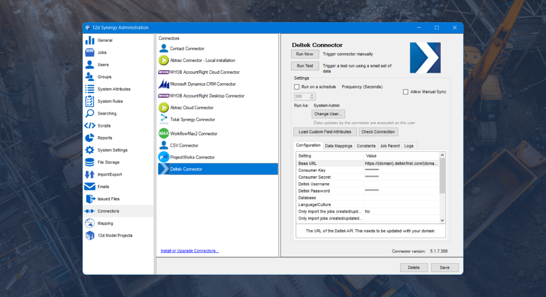
Integrations
Being a vendor agnostic platform, leverage existing hardware and software such as Leica, Trimble, Topcon, GIS, CAD and many more.
Spatial Search
Search and visualise jobs, contacts and assets on a map using address or coordinate attributes so field and office teams find the right location fast.

Customer Success Stories
“12d Synergy is my preferred platform for managing MicroStation.“
City of Newcastle used 12d Synergy to work remotely with large engineering and geospatial datasets, improving transfer efficiency and maintaining controlled version history with rollback.
Read Their Story
Richard Clarke
Senior Civil Project Offier, City of Newcastle
“You’ve got 30km, you’re working around the clock, you need to get data in and out really quickly… it does become a nightmare.“
On Sydney’s B-Line, Fulton Hogan used 12d Synergy to speed up field-to-office data flow and remote access, keeping survey updates controlled and current without relying on portable drives or manual handoffs.
Read Their Story
Michael Connor
Survey Manager, Fulton Hogan
“Across the board, our team reports saving 3 to 5 hours per week per surveyor just through better data management“
ESO Surveyors standardise how survey and design data is distributed and updated across teams with 12d Synergy, improving consistency, retrieval, and risk control as projects and datasets grew.
Read Their Story
Chris Staak
SA State Manager, ESO Surveyors
Seamless integration across your technology stack
Integrate your core systems into an open, data-agnostic environment, so project information flows consistently without vendor lock-in.





Step Up to Superior Geospatial Data Management
Fill in the form to get the eBook and learn how 12d Synergy helps improve control, performance, and consistency for 12d Model data.
Take control of your projects, mitigate risks, and reduce costs
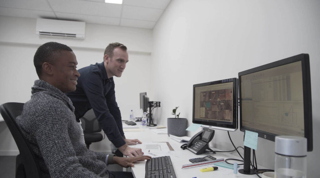
Uphold standards by centralising all project information within an ISO 19650 Common Data Environment.
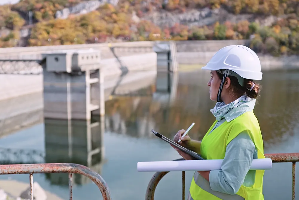
Integrate subterranean pipe design directly with 2D overland flood hydrodynamics in TUFLOW.
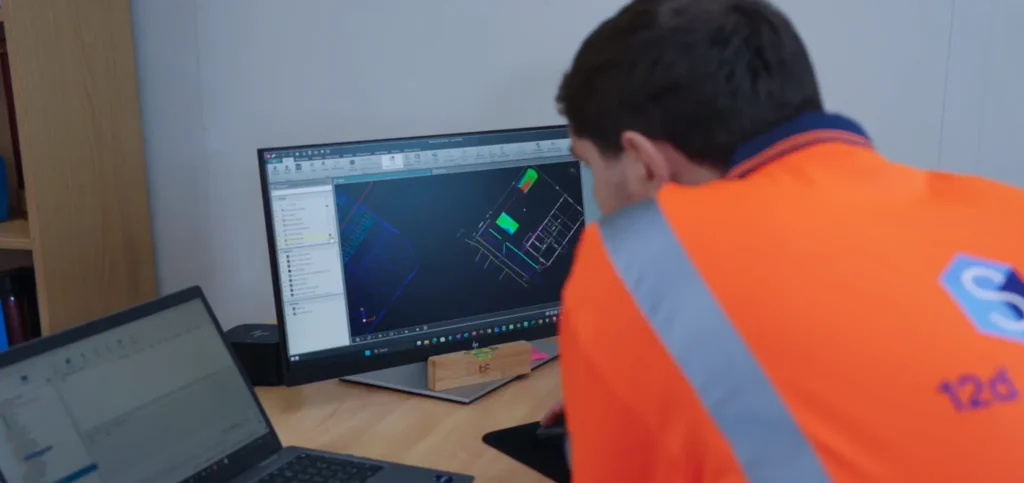
Model multi-lane road corridors, roundabouts, and rail alignments in seconds with live parametric updates.
03 — DESIGNERS
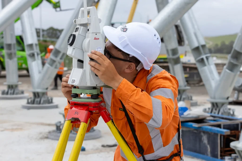
Achieve sub-millimeter traverse adjustments and effortless field-to-office sync with 12d Field.