Field Survey Software for GNSS & Total Stations
12d Field
“Best-in-class” tool for the topographic, cadastral and engineering surveyor who demands better productivity in the office or the field.
What is 12d Field?
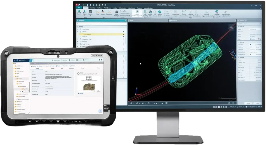
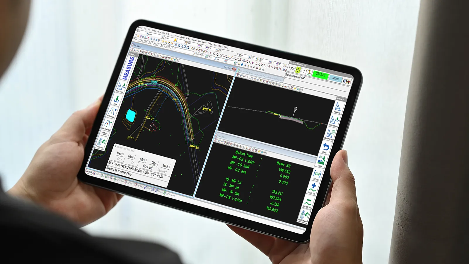
12d Field helps surveyors and engineers streamline office-to-field workflows by taking desktop projects on-site. The software allows you to use 12d Models full functionality on tablets and notebooks in the field. It is hardware-agnostic, allowing the user to be live on screen and connect to multitude of different robotic total stations and GNSS receivers.
Why use 12d Field?

Real-Time Data Collection
Easily integrate various tablets, surveying instruments and data formats, providing versatility and bringing the office directly to the field to improve efficiency and collaboration across all aspects of the project.

Data Efficiency
12d Field can manage substantial datasets effortlessly. It is used on small and large complex civil projects, comfortably processing large data sets and point clouds.

Flexibility
Easily integrate tablets, surveying instruments and data formats, providing versatility — bringing the office directly to the field.

Reduce Downstream Delays
Improve site efficiency and quality with advanced setout and stakeout tools that provide a unique solution for complex construction tasks.
What can you do with 12d Field?
Survey Data Reduction
12d Field File provides a full auditable trail for Quality Assurance (QA)
Measurements can be checked, edited and adjustments applied to field data
Automatically apply models (layers), linestyles, symbols, colours, solid fills, lineweights and correctly sized pipe structures, all based on a singular field code
Apply rich attribute and Meta data automatically to your survey data
Traverse, Adjustments, and Transformations
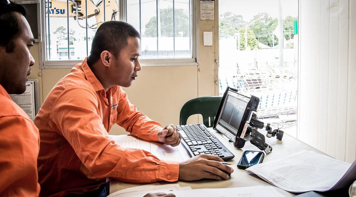
Manage, manipulate and move survey data to position within local and global systems.
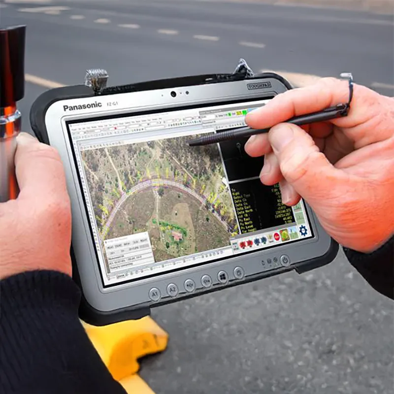
Handle complex networks and adjustments using 12d Models traverse editor
Adjustments method options – transit, bowditch, Crandall, Compass or Least Squares
Utilise solar and star reductions without requiring almanac details
Geodetic interactive reporting of longitude and latitude, easting and northing, projection bearing and distance, and ellipsoid distance. Full geodetic calculations
Zone to Zone and general conversions between Latitude/Longitude and Universal Transverse Mercator (UTM) projections, Transverse Mercator and most other projections
Global transformation methods – affine, 2D and 3D Helmert, seven parameters and NTv2 Grids. These include converting between different coordinate systems all over the globe
Elevation (height) adjustments, including a simple constant, user-defined planes or different surfaces
Agnostic Solution
12d Field provides a seamless interface with most major surveying hardware.
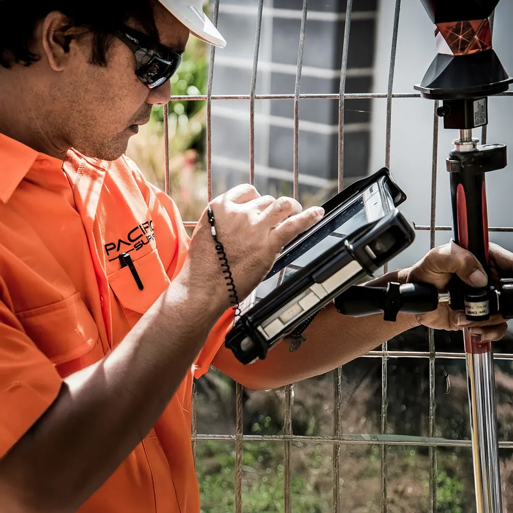
Connectivity to most major manufacturers of GNSS receivers, and robotic total stations
Import/Export capabilities with a large variety of file types
Ability to convert other manufacturer’s native files into 12d model’s field file format
Construction
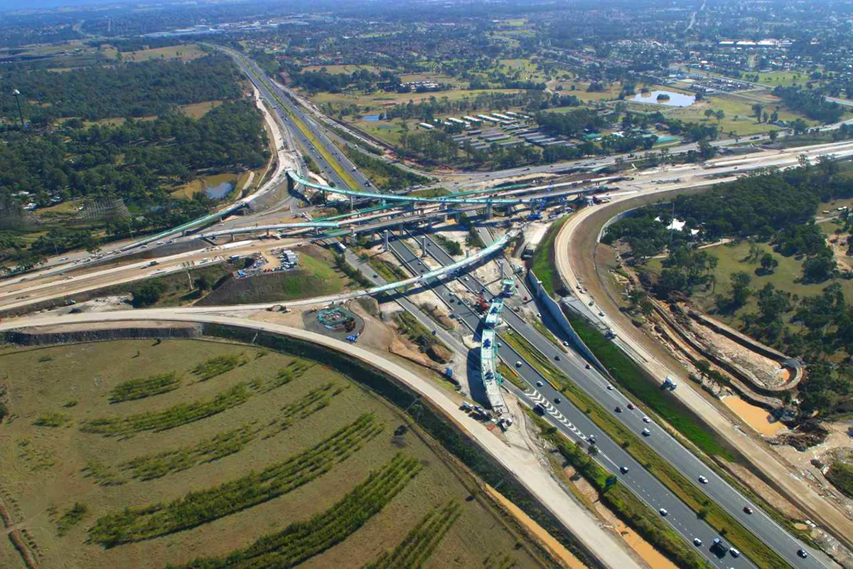
12d Field offers end to end office to field, field to office workflows, streamlining your construction projects.
Dynamic views allow user to position themselves in 3D, Sectional and Plan views simultaneously
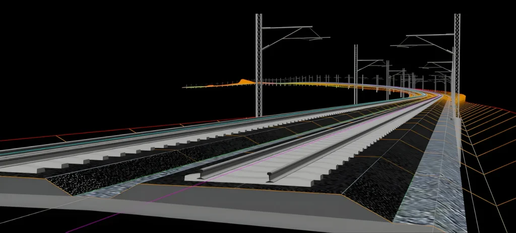
Advanced setting out capabilities including Tunnelling and Roading
Major machine control output formats are supported through 12d model
Full CAD application available to surveyor on site in real time
Share data live from field to office and office to field with 12d Model’s master shares
Survey Reporting
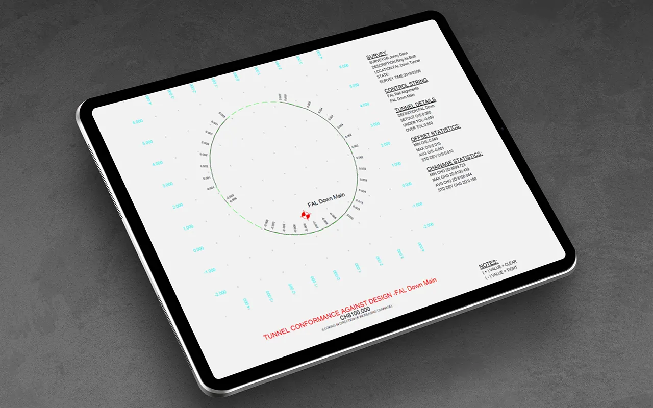
12d Field gives surveyors and engineers the tools to manage construction Quality Assurance processes, ensuring contractual obligations are verified, auditable and completed to a high standard.
Wide variety of surveying and construction reporting comes out of the box
Compare and report surveyed data to design points, strings and triangulated surfaces
All reporting, analysis and computations, able to be completed without returning to a desktop
Export QA reports into various formats which are easily ingested by other stakeholders
Take control of your projects, mitigate risks, and reduce costs
Uphold standards by centralising all project information within an ISO 19650 Common Data Environment.
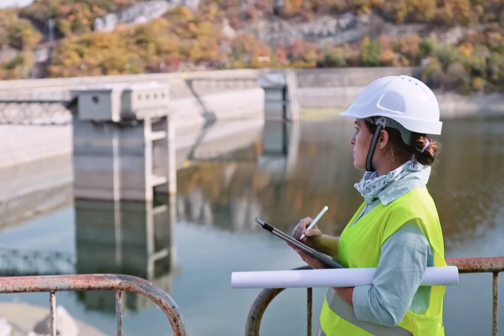
Integrate subterranean pipe design directly with 2D overland flood hydrodynamics in TUFLOW.
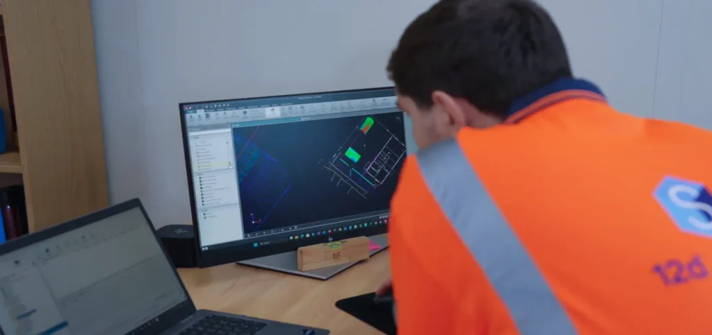
Model multi-lane road corridors, roundabouts, and rail alignments in seconds with live parametric updates.
03 — DESIGNERS
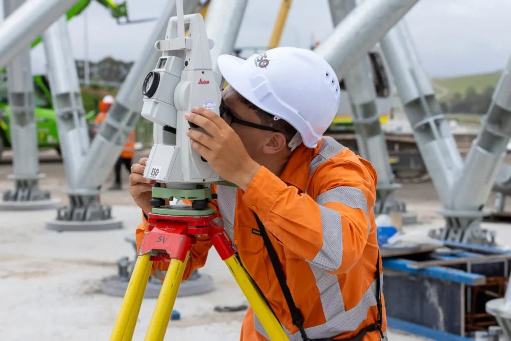
Achieve sub-millimeter traverse adjustments and effortless field-to-office sync with 12d Field.
An Open, Connected Ecosystem for Project Delivery
From precise field data collection and advanced civil design to controlled information management and automated data exchange, 12d supports your entire project lifecycle while connecting with the tools your teams already use.
12d Synergy
Manage documents, emails, workflows and complex engineering datasets from 12d and third-party applications within a secure Common Data Environment.

12d Model
Survey, design, analyse and visualise civil, water and infrastructure projects while exchanging data across industry-standard formats and platforms.

CDE Connect
Automate controlled data and metadata exchange between platforms such as 12d Synergy, Autodesk Forma, ProjectWise and other project systems—without replacing your existing technology.