Civil Engineering Design & Modelling Software
12d Model
12d Model is a powerful surveying, civil engineering and civil BIM software package
What is 12d Model?
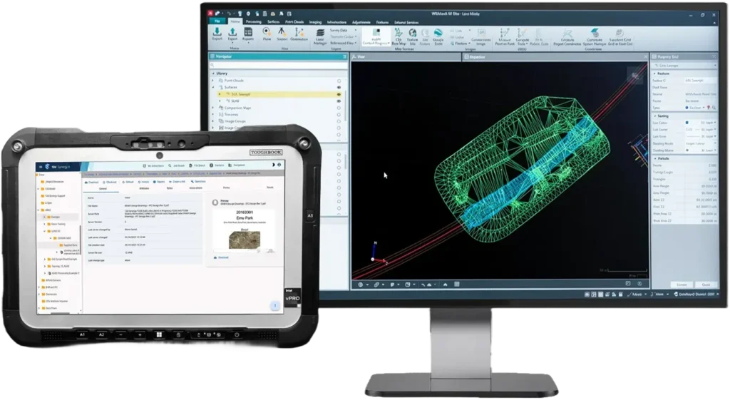
12d Model offers an integrated solution for surveying, designing, modelling, analyzing, and constructing civil engineering projects worldwide. Specifically designed and created for the civil engineering industry, 12d Model improves your project efficiency, completes projects in shorter timeframes and reduces cost with 12d’s comprehensive 3D solution!
Why use 12d Model?

Comprehensive Design Tools
Streamline complex design tasks for roads, drainage, rail and more, within a single software

Compliance with Standards
Ensure designs meet local and industry standards with built-in asset and attribute validation tools

Customisable Workflows
Adapt the software to your project needs using macros and chains, boosting productivity

Powerful 3D Visualisation
Improve decision-making and client communication with advanced 3D modelling and visualisation

Modular, easy to update & completely customisable
Tailor it to your specific needs and effortlessly adapt to changing project requirements

Integrated Surveying Capabilities
Efficiently capture, process, analyse and adjust survey data with tools for field-to-finish workflows

Integrate with major industry software and hardware
12d Model easily allows users to directly interface with GIS systems, surveying hardware and most civil data formats
Access friendly training & support from a team of industry experts
We’ll set your business and teams up for success with comprehensive and expert training, and responsive on-going support.
Solutions across a range of project types
12d Model is a comprehensive surveying and civil engineering software package providing specialised solutions for all types of projects
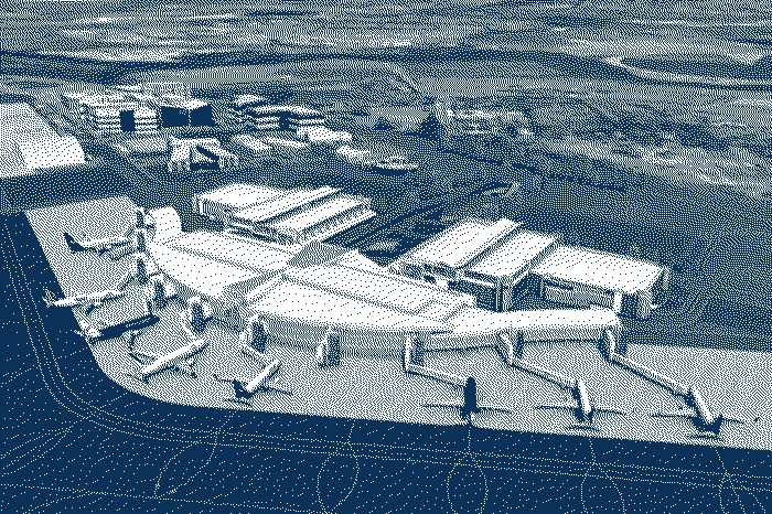
Airport Infrastructure
Powerful 3D technology to enhance your project
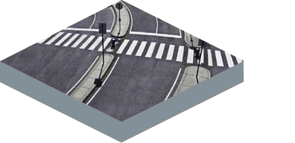
As Built
Full as built and conformance reporting, develop asset information models
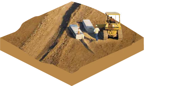
Construction
Manage volumes, quantities, design models and survey data
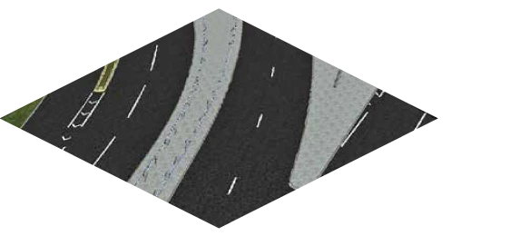
Visualisation
Create realistic 3D visualisations
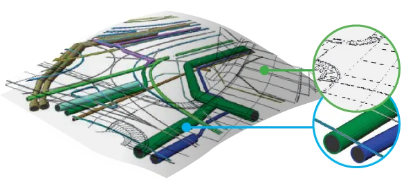
Civil Design
Comprehensive 3D Design tools for use in multi-disciplinary teams
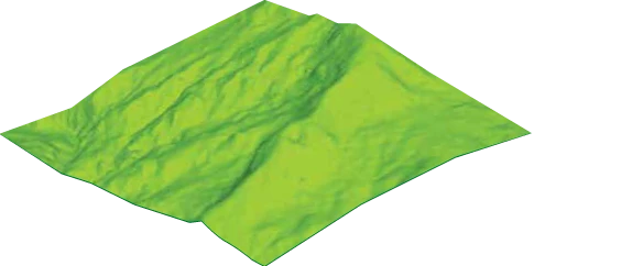
Surface Models
Easily handle and manipulate large datasets
Solutions for an industry-leading user community
Data Collection and Exchange
Use 12d Field to connect to a variety of surveying hardware and collect data directly into 12d model.
Supports large variety of data formats
Coordinate transformation, geodetics and adjustments
Direct integration with GIS systems
LiDAR and Point Cloud capabilities
DTM Creation and Analysis
Design Creation
All in one package for the design of roads, drainage, utilities and more
A “Civil BIM” package that enables users to develop data rich information
Customisable to project requirements
Analysis, Reporting and Documentation
Comprehensive 3D Visualisation tools
Customisable reporting
Automate plotting of plans, profiles, sections and 3D PDF
Setout and Construction
Setout directly from 12d model using 12d field
Connection available to most major manufacturers
Output machine control files from within 12d model
Stockpile and haul management
Quantities and volumes
Compliance, QA and As-Building
As built documentation and reporting
Validate attributes and asset data for compliance using 12d Model’s MetaConnex
Exchange into a wide variety of formats, including BIM and GIS
Quantities and volumes
Governance controls built for real delivery
Standardise how information is created, approved, and shared, so teams spend less time searching and less time fixing mistakes.
Project Owner
12d Model provides Project Owners a platform to interface with all project stakeholders. It has the ability to transfer data in highly flexible formats, allowing them to receive the data they need to check the information submitted and make timely critical decisions.

Surveying
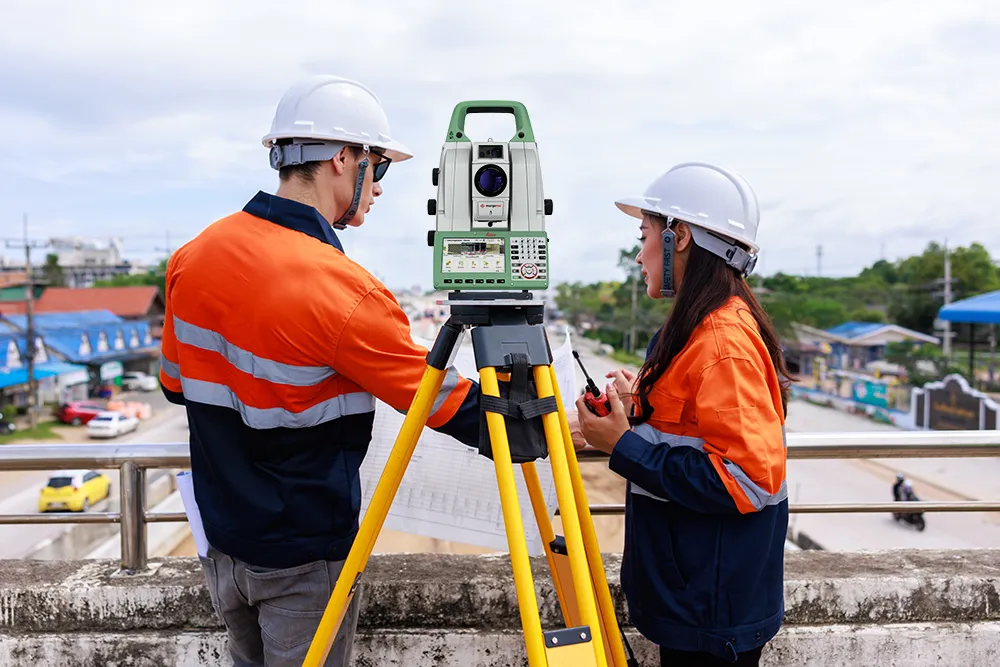
12d Model allows surveyors to connect to a range of equipments brands to complete topographic surveys, construction set-out, survey adjustments, or undertake large scale mapping while seamlessly exchanging data in the format they require.
Engineering
12d Model is used by sole operators and multi-national engineering companies to execute a wide range of multi-discripline projects. It provides a range of automated design processes as well as seamless integration with other project stakeholders.

Construction
12d Model is perfect for small contractors as well as large multi-national contractors. Offering fast set-out, machine control formats, volume analysis, clash detection and as-built conformance. It improves construction productivity through schedule and cost benefits.
Government
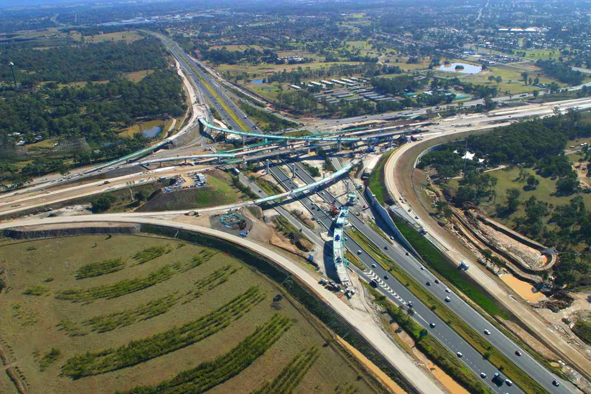
The unique software provides departments, local to national, with the tools for all aspects of civil infrastructure. From planning through to GIS database management of survey data and completed projects, it can be used by councils, road authorities, public works and defence.

Security
Keep your data safe with enterprise-grade security features, including user group or role-based access controls, audit trails and data encryption.

Web & Mobile
Check status and sync from site with offline-friendly workflows that ensure you can view, edit or manage data anytime, anywhere.

Solutions for an industry-leading user community
75+
Countries
Used by thousands of engineers, designers, surveyors and planners in 75+ countries worldwide
30+
Years
Driving your project sucess today and in the future
250+
Powerful features
Processing large data sets
#1
Leading Software
Leading Software for Surveying, Civil and Water Engineering
An Open, Connected Ecosystem for Project Delivery
From precise field data collection and advanced civil design to controlled information management and automated data exchange, 12d supports your entire project lifecycle while connecting with the tools your teams already use.
12d Synergy
Manage documents, emails, workflows and complex engineering datasets from 12d and third-party applications within a secure Common Data Environment.

12d Field
Capture, validate and work with field data using a broad range of surveying instruments, hardware and data formats.

CDE Connect
Automate controlled data and metadata exchange between platforms such as 12d Synergy, Autodesk Forma, ProjectWise and other project systems—without replacing your existing technology.
Take control of your projects, mitigate risks, and reduce costs
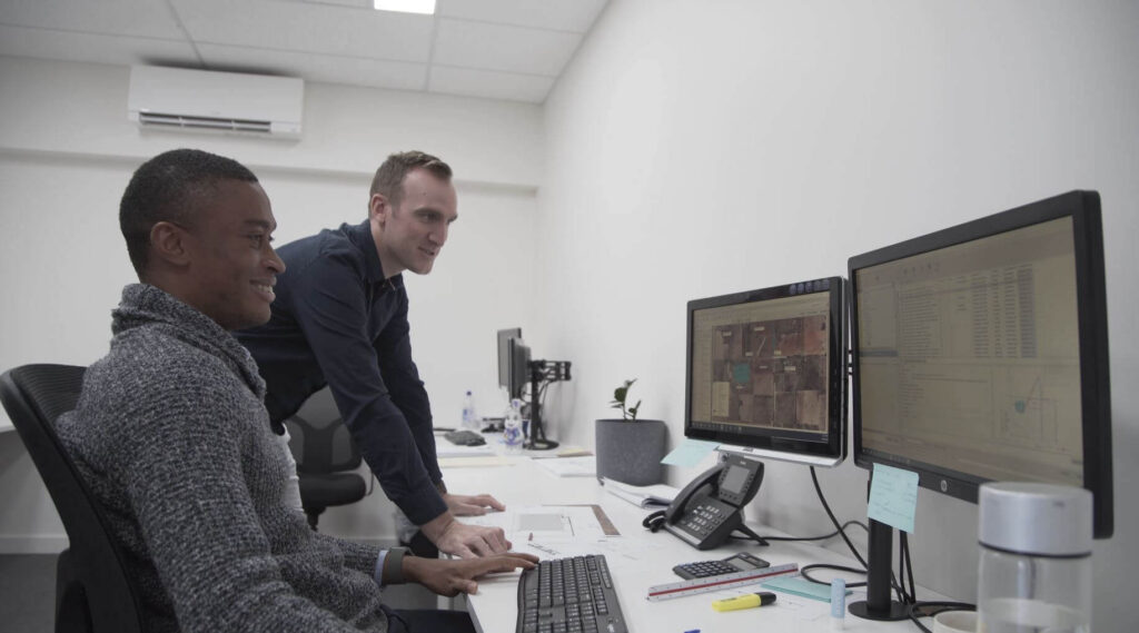
Uphold standards by centralising all project information within an ISO 19650 Common Data Environment.
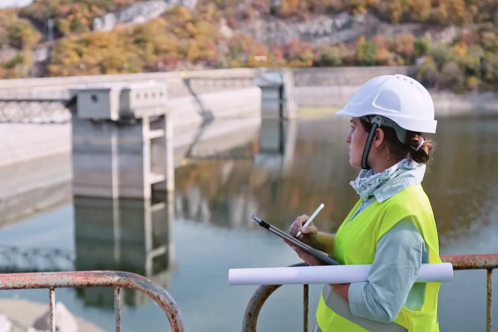
Integrate subterranean pipe design directly with 2D overland flood hydrodynamics in TUFLOW.
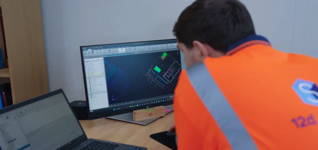
Model multi-lane road corridors, roundabouts, and rail alignments in seconds with live parametric updates.
03 — DESIGNERS
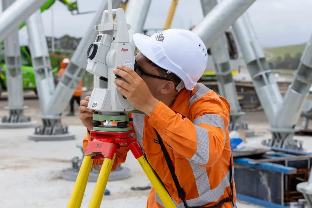
Achieve sub-millimeter traverse adjustments and effortless field-to-office sync with 12d Field.