Integrated Water Engineering Software for Smarter Infrastructure
Design, analyse and manage drainage, sewer, water supply and flood systems in one connected environment. 12d brings water modelling, civil design and project information together from early assessment through detailed design and delivery.
Water engineering shouldn’t mean rebuilding the same information across disconnected systems.
Every water design is influenced by the surrounding terrain, roads, utilities and changing project requirements. When models, calculations and project files are managed separately, coordination becomes slower and errors become harder to identify.
12d connects modelling, analysis and information management so water engineers can respond to change, coordinate across disciplines and deliver reliable designs with confidence.
One Connected Solution Across Your Water Projects
Design, analyse and coordinate water infrastructure within the wider civil project— from catchment assessment and network design through to flood analysis and delivery.
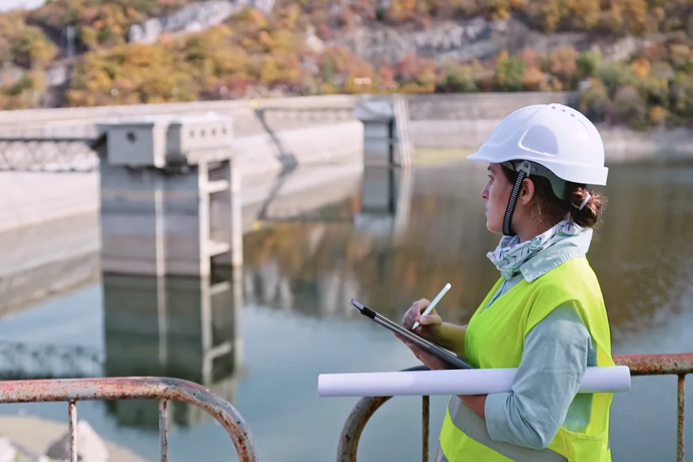
Surface Water
Model catchments, overland flow paths, drainage networks and storage systems within the wider civil design.
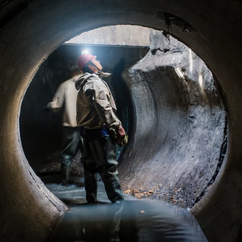
Foul Water
Plan and design sewer networks with terrain, utilities and surrounding infrastructure visible together.
Water Supply
Design and coordinate water supply networks alongside other underground services and civil infrastructure.
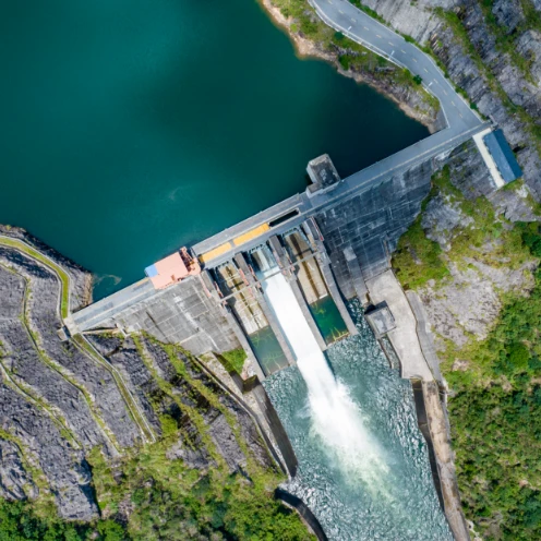
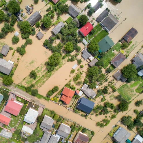
Rivers & Flooding
Analyse river systems, flood behaviour and mitigation measures using connected terrain and hydraulic tools.
A Better Way to Design Water Infrastructure
Bring terrain data, network design, analysis and project information into a connected workflow. Changes can be assessed in context, shared with the wider team and carried through to coordinated project outputs.
Built for the Demands of Water Engineering
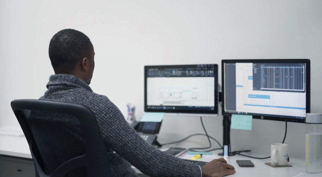
From complex network analysis to multidisciplinary coordination, 12d gives water engineers the tools to design efficiently and keep project information under control.
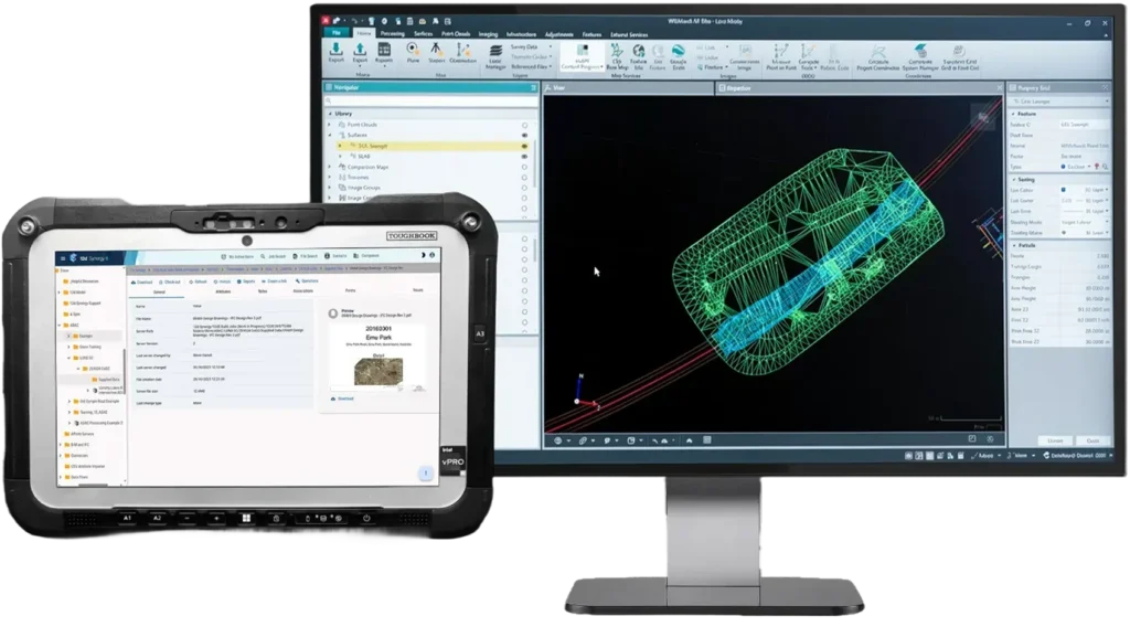
12d Synergy
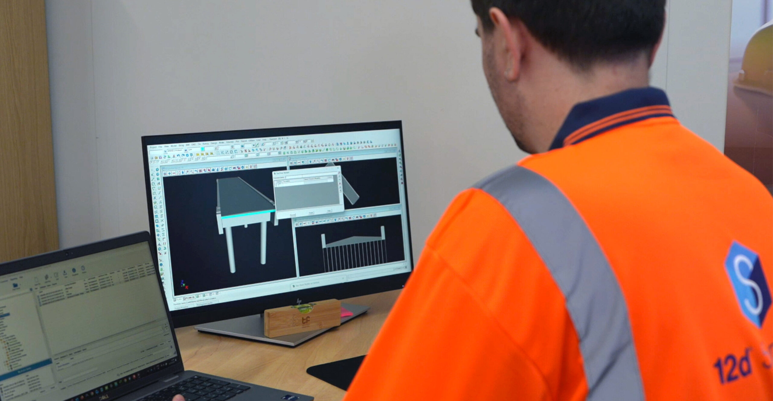
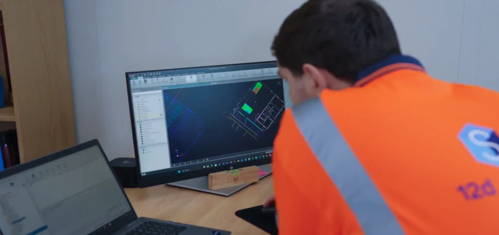
12d Model
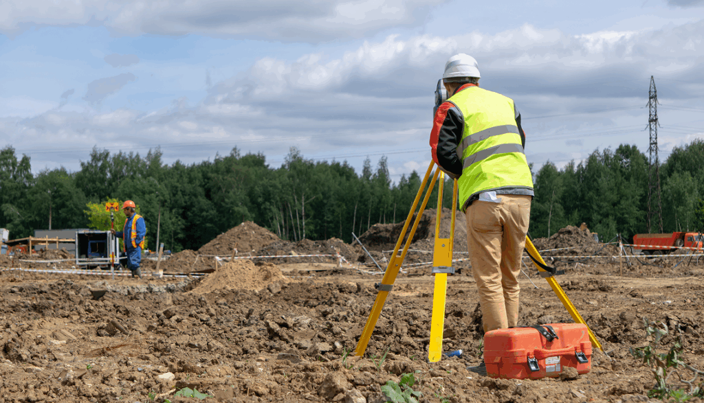
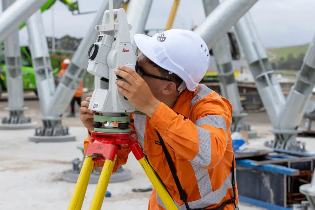
12d Field
One Source of Truth
Centralise models, calculations, reports and supporting documents so project teams can find and work from the latest information.
Collaborate on Native 12d Model Data
Allow multiple team members to work across complex model data without relying on manual file copies or uncontrolled folder structures.
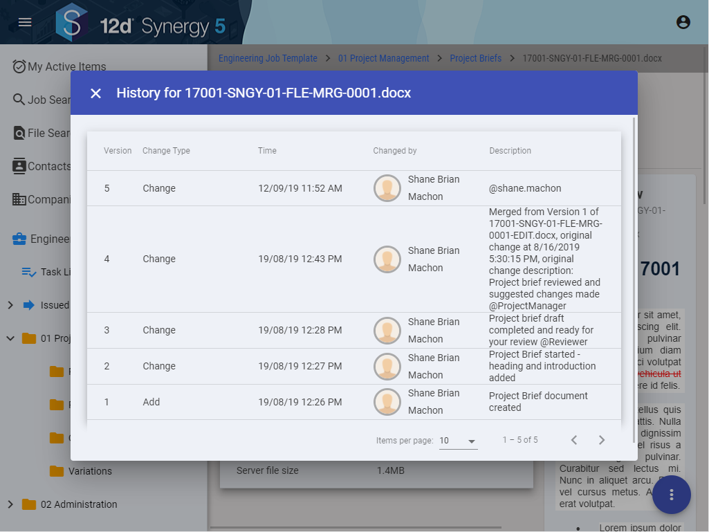
Version Control and Traceability
Maintain a complete history of project information, including who changed it, when it changed and which version is current.
Controlled Project Delivery
Use structured workflows, access controls and an ISO 19650-compliant common data environment to manage information throughout the project lifecycle.
Integrated Water and Civil Design
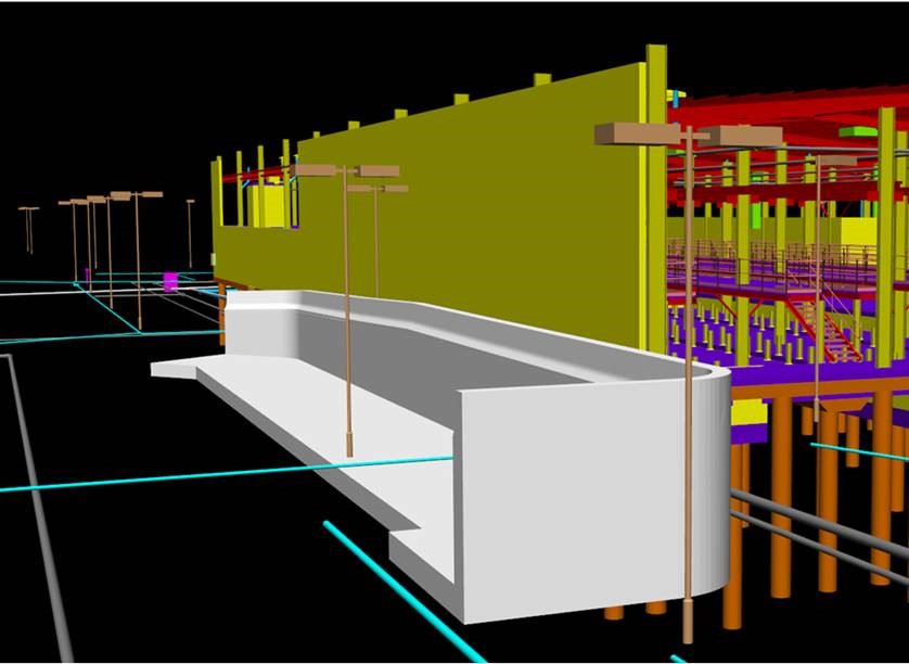
Design drainage, sewer, water supply and flood infrastructure alongside terrain, roads and utilities in one coordinated model.
Hydrology and Hydraulic Analysis
Assess catchment runoff, underground networks, overland flows, storage systems and flood behaviour using integrated analysis tools.
1D and 2D Modelling
Understand the interaction between underground drainage networks and surface water to support more informed design and flood-risk decisions.
Automated Outputs and Reporting
Generate plans, long sections, calculation tables and other project outputs directly from coordinated design information.
Comprehensive Adjustment Tools
12d Field provides a full suite of adjustment and coordinate transformation tools, enabling reliable surveys without returning to the office.
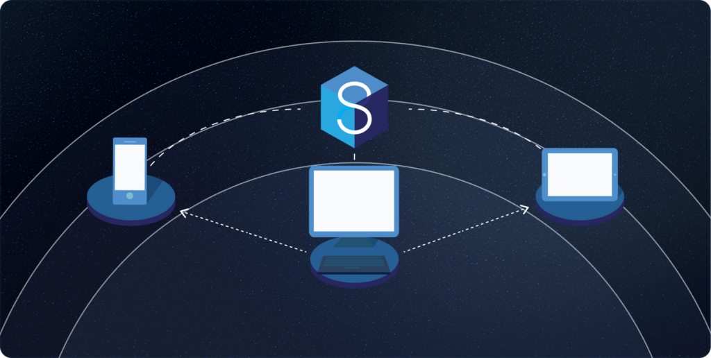
Connect Field & Office
Stream live design from office 12d model projects to your tablet on site, and vice versa.
An Agnostic Capture Solution
Take 12d model to site with 12d field, and connect seamlessly to a wide range of manufacturer's instruments.
Bring Your Surveys to Life
Use intelligent mapfiles that easily turn strings and points into complex 3d BIM objects.
An Open, Connected Ecosystem for Project Delivery
From precise field data collection and advanced civil design to controlled information management and automated data exchange, 12d supports your entire project lifecycle while connecting with the tools your teams already use.
12d Synergy
Manage documents, emails, workflows and complex engineering datasets from 12d and third-party applications within a secure Common Data Environment.
Automate controlled data and metadata exchange between platforms such as 12d Synergy, Autodesk Forma, ProjectWise and other project systems—without replacing your existing technology.
Step into the world of 12d, where every detail is meticulously crafted to help you unlock the full potential of BIM and take your projects to new heights of success.
Achieve sub-millimeter traverse adjustments and effortless field-to-office sync with 12d Field.
This Website Uses Cookies
To provide the best experiences, we use technologies like cookies to store and/or access device information. Consenting to these technologies will allow us to process data such as browsing behavior or unique IDs on this site. By clicking “Accept All Cookies” or dismissing the banner, you agree to the use of all cookies. You can opt-out or change your settings by clicking on "Manage Preferences.
Functional
Always active
The technical storage or access is strictly necessary for the legitimate purpose of enabling the use of a specific service explicitly requested by the subscriber or user, or for the sole purpose of carrying out the transmission of a communication over an electronic communications network.
Preferences
The technical storage or access is necessary for the legitimate purpose of storing preferences that are not requested by the subscriber or user.
Statistics
The technical storage or access that is used exclusively for statistical purposes.The technical storage or access that is used exclusively for anonymous statistical purposes. Without a subpoena, voluntary compliance on the part of your Internet Service Provider, or additional records from a third party, information stored or retrieved for this purpose alone cannot usually be used to identify you.
Marketing
The technical storage or access is required to create user profiles to send advertising, or to track the user on a website or across several websites for similar marketing purposes.