12d Synergy Integrations
Connect the tools your project teams already use

The benefits of connecting your systems

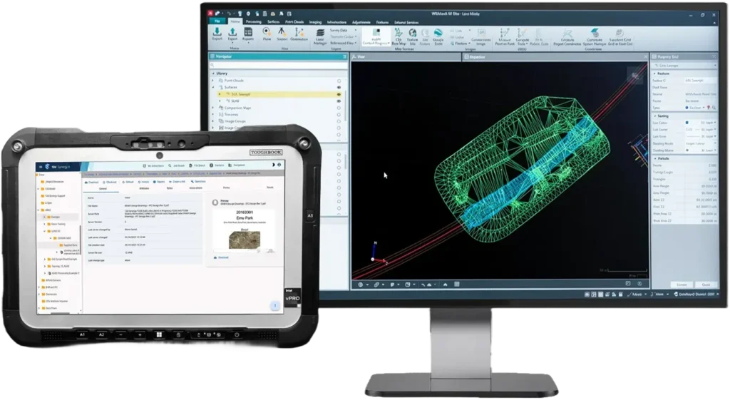
Simplified management and sharing of data across your business’ multiple software products.
Ensure your data in 12d Synergy is always kept current when data is changed in your other software with automatic syncing.
Create new jobs and tasks using the existing processes in your other software products, and then execute them in 12d Synergy.
Jobs created in other systems can be pulled into 12d Synergy, which then auto-builds your folder structure with naming rules, permissions, teams/roles, collaboration tools, and tasks.
Automatically populate documents, 12d Model projects and CAD drawings with Attributes automatically created from your external project information.
All Integrations
“Best-in-class” tool for the topographic, cadastral and engineering surveyor.
Native workflows for 12d design data with controlled collaboration.
Bring project cost and resource records into governed project information flows.
Dataflow connection to align teams with consistent, governed information.
CAD integration for drawing workflows and project file coordination.
Support for civil design deliverables with controlled project structures.
Dataflow connection for controlled exchange across CDE environments.
Manage Bentley data and dependencies.
Enable streamlined workflows and automated dependency tracking.
Dataflow connection to coordinate document control between systems.
CAD workflows with versioning and structured data management.
BIM-capable authoring workflows with governed project data controls.
Manage survey project folders with controlled changes and audit trails.
Dataflow connection to support structured exchange of controlled documents.
Connect project and financial systems with governed information workflows.
DRAINS empowers professionals to predict, analyse and design complete water systems with confidence
Connect GIS datasets using governed, metadata-aware workflows.
Automate your spatial and non-spatial data FME workflows using the latest files and metadata.
Streamline your workflows with geodata and sensors.
Field-to-office handoffs with governed dataset structures.
On-site construction layout and machine control.
Store and trace survey processing outputs with clear version history.
Managed folder workflows for survey deliverables and controlled updates.
Keep field data synced back into approved datasets without corruption.
Connect enterprise systems for governed records and project metadata.
Connect financial data and project records with traceable information workflows.
Integrated for high-precision survey processing.
Neo is user-friendly geospatial software that transforms raw data into useful information.
Strict version control and centralised cloud management for stormwater modelling files, ensuring seamless collaboration without risking lost data.
Connect project delivery and reporting for consistent, trusted information.
Integrate GIS workflows with searchable, traceable project information.
Managed folder workflows to protect simulation datasets and outputs.
Folder-based protection for survey dependencies and reference files.
Connect project management systems to align delivery with controlled information.
Full version control for Trimble Business Center files.
Folder-based workflows to keep datasets consistent and controlled.
Protect flood modelling datasets with controlled folder-based management.
Connect financial controls into project workflows with audit-ready traceability.
Connect job management workflows with consistent, governed project information.
Managed folder controls for modelling workflows and traceable changes.