Cut the Admin Out of the Data Handover
Stop wasting time on USB transfers and email chains. Leica Geosystems' integration with 12d Synergy enables bi-directional data flows, ensuring real-time access to the latest designs and survey data.


Stop wasting time on USB transfers and email chains. Leica Geosystems' integration with 12d Synergy enables bi-directional data flows, ensuring real-time access to the latest designs and survey data.
When design teams are working off last week's survey data while the field team has already updated it, rework follows. 12d Synergy keeps both sides in step during active WIP so the office always has the latest capture and the field always has the latest designs.
Every check-out, update and check-in is logged as it happens, tied to the person who made it. If a dataset is ever questioned, you have the full history on record instead of guessing through email chains.


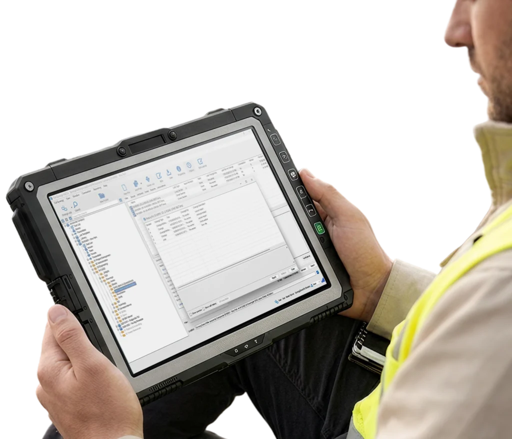
Check out an entire Leica project database as a single managed folder, make your changes in Leica Infinity, then check back in with a full change description recorded in the history. No manual transfers, no overwritten files, no guessing who has what.

Field data reaches the office and design updates reach the field automatically — no manual transfers in either direction.

One integration covers Leica Infinity, ConX, HxGN GeoCloud, Captivate and iCON — from desktop processing through to field hardware.

Every file change is automatically logged with a full audit trail, supporting ISO 19650 compliance across your survey and design workflows.

Survey data is structured and versioned from the moment it is captured, giving design teams reliable, governed information to work from.

Only changed data syncs, not entire datasets, keeping performance fast even on constrained site networks.

New projects start with consistent folder structures, permissions and naming conventions already in place.

Set notifications on any folder so your field team is automatically alerted when library files or templates are updated.

Large survey files sync incrementally so your team works at full speed regardless of site connection quality.
Book a demo
We'll walk your team through the Leica Geosystems integration end to end and answer anything specific to how you work.
Book a demo Not ready yet? Watch the integration webinar first
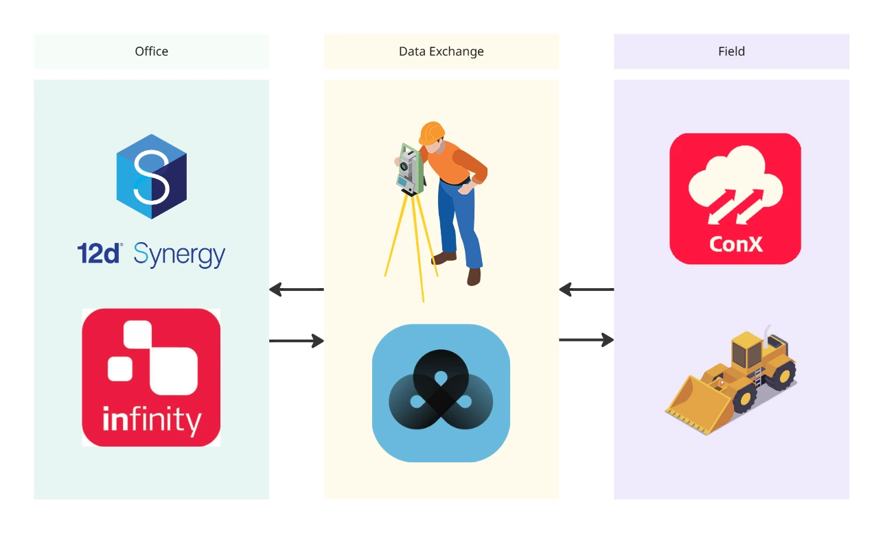

The integration lives directly inside Leica Infinity. Once connected, you can import and export data between Leica Infinity and 12d Synergy without leaving the application. Your survey data goes where it needs to without any manual steps in between.
The integration supports Leica Infinity, Leica ConX, HxGN GeoCloud, Leica Captivate and Leica iCON. Through Leica ConX and HxGN GeoCloud, the connection extends to field hardware so data flows across your whole Leica ecosystem automatically.
12d Synergy uses smart incremental sync, so only changed data transfers rather than entire datasets. Large survey files stay performant even on constrained site networks, with local file access backed by cloud-connected governance.
Yes. 12d Synergy is ISO 19650-ready and the integration supports structured WIP management, version control and audit trails aligned to ISO 19650 requirements. Every file change is logged, giving your team full traceability from field capture to design delivery.